
File:Tarbes (Hautes-Pyrénées) quai de l'Adour.jpg

Size of this preview: ༨༠༠ × ༦༠༠ pixels. Other resolutions: ༣༢༠ × ༢༤༠ pixels | ༦༤༠ × ༤༨༠ pixels | ༡,༠༢༤ × ༧༦༨ pixels | ༡,༢༨༠ × ༩༦༠ pixels | ༢,༠༤༨ × ༡,༥༣༦ pixels.
ཐོག་མའི་ཡིག་ཆ། (༢,༠༤༨ × ༡,༥༣༦ བརྙན་རྒྱུ།, ཡིག་ཆ་ཆེ་ཆུང།: ༡.༣༥ MB, རྣམ་གཞག།: image/jpeg)
_quai_de_l%27Adour.jpg)
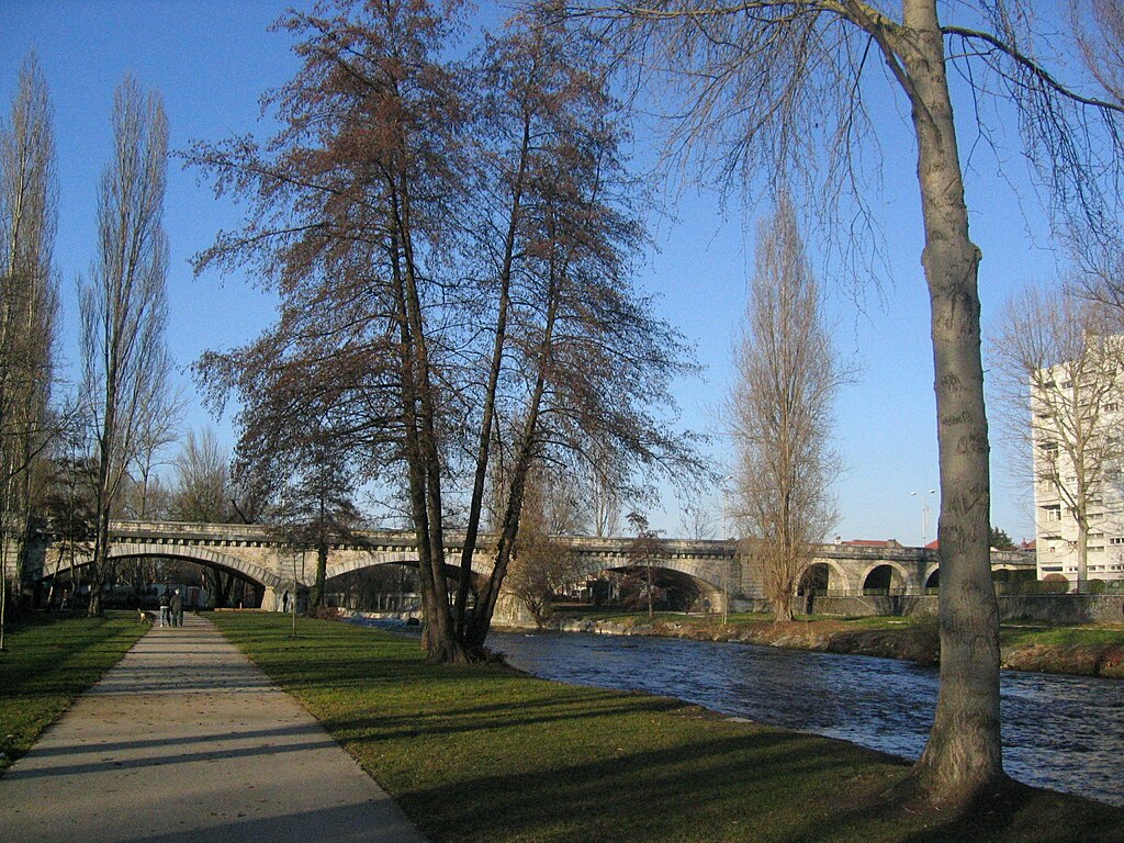
| Description | Au bas de la résidence des rives de l'Adour à Tarbes, le fleuve qui cheminera jusqu'à Bayonne a encore bien du temps devant lui. | ||
| Date | |||
| Source | originally posted to Flickr as Tarbes (Hautes-Pyrénées): quai de l'Adour | ||
| Author | fredpanassac | ||
| Permission (Reusing this file) |
This file is licensed under the Creative Commons Attribution-Share Alike 2.0 Generic license.
|
| Camera location | | View this and other nearby images on: OpenStreetMap |
|---|
_quai_de_l%27Adour.jpg¶ms=043.232167_N_0000.088222_E_globe:Earth_type:camera__&language=bo)
ཡིག་ཆའི་ལོ་རྒྱུས།
ཟླ་ཚེས་/དུས་ཚོད་གནུན་ཏེ་རྩོམ་ཡིག་ལ་ལྟ་བ།
| ཚེས་གྲངས། / དུས་ཚོད། | བསྡུས་དོན། | ཚད། | སྤྱོད་མི། | བསམ་ཚུལ། | |
|---|---|---|---|---|---|
| ད་ལྟ། | ༢༡:༢༢, ༡༨ ཟླ་དགུ་བ། ༢༠༠༩ | | ༢,༠༤༨ × ༡,༥༣༦ (༡.༣༥ MB) | Flickr upload bot | Uploaded from http://flickr.com/photo/10699036@N08/2135332902 using Flickr upload bot |
ཡིག་ཆ་བེད་སྤྱོད་ཁུལ།
pagelinks འདི་ལ་སྦྲེལ་ཡོད།
Global file usage
The following other wikis use this file:
_quai_de_l%27Adour.jpg)