
File:Map of Vietnam 1829.jpg
Size of this preview: ༣༩༩ × ༥༩༩ pixels. Other resolutions: ༡༦༠ × ༢༤༠ pixels | ༣༢༠ × ༤༨༠ pixels | ༥༡༡ × ༧༦༨ pixels | ༦༨༢ × ༡,༠༢༤ pixels | ༡,༣༦༤ × ༢,༠༤༨ pixels | ༣,༤༦༤ × ༥,༢༠༠ pixels.
ཐོག་མའི་ཡིག་ཆ། (༣,༤༦༤ × ༥,༢༠༠ བརྙན་རྒྱུ།, ཡིག་ཆ་ཆེ་ཆུང།: ༨.༨༣ MB, རྣམ་གཞག།: image/jpeg)
བསྡུས་དོན།
| Description |
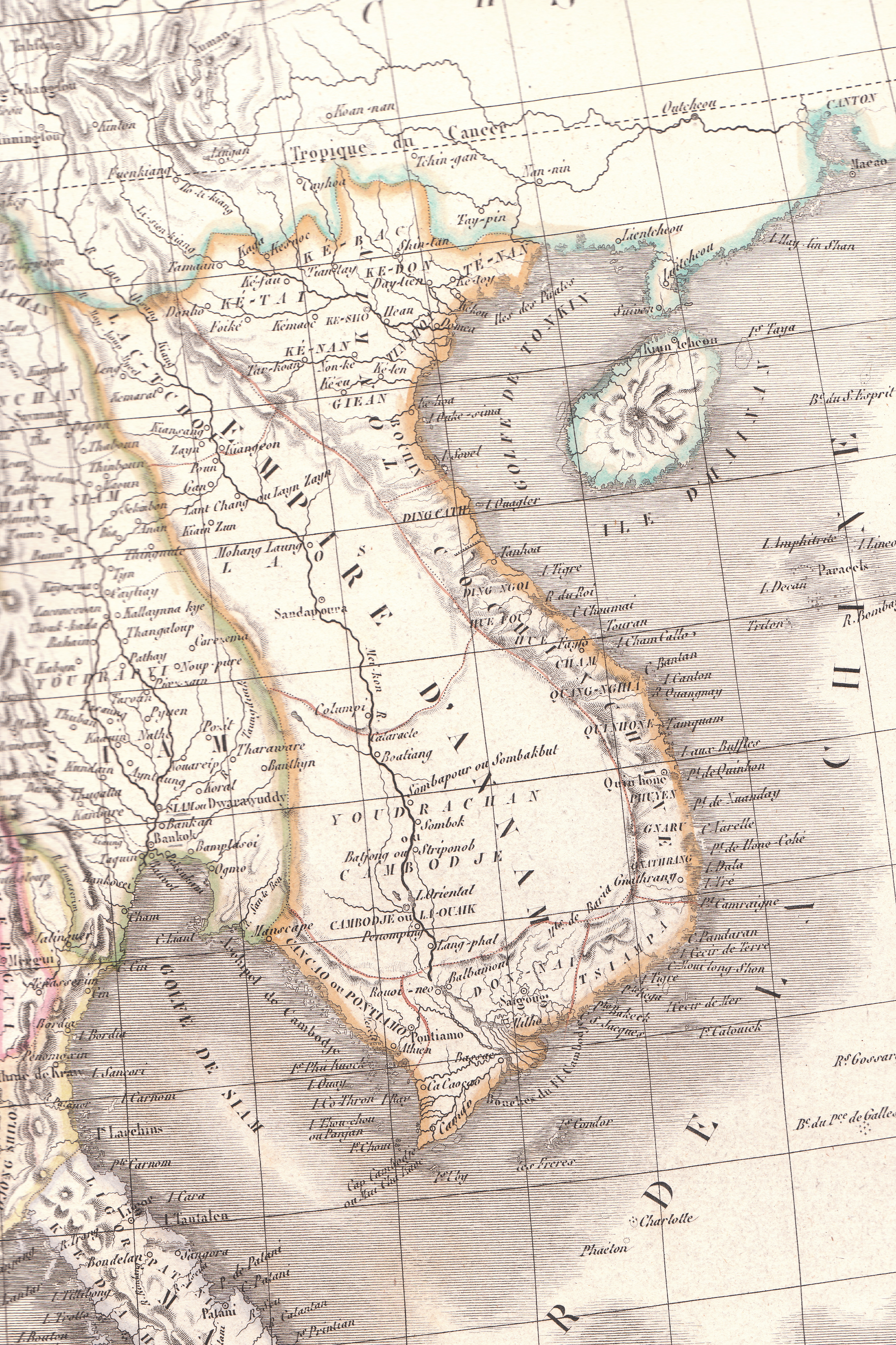
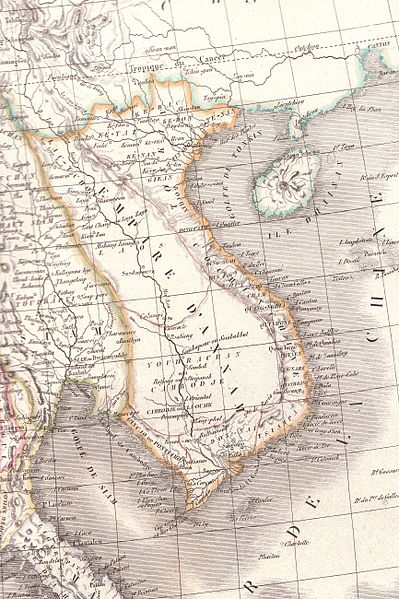
English: Plate 35E "Carte de l’Inde endeca et audela du Gange" from Lapie's Atlas Universel printed in 1829 |
| Source | Atlas Universel |
| Author | Pierre M. Lapie |
གན་རྒྱ་ནང་ཞུགས་པ།
|
This work is in the public domain in its country of origin and other countries and areas where the copyright term is the author's life plus 70 years or fewer. This work is in the public domain in the United States because it was published (or registered with the U.S. Copyright Office) before January 1, 1929. | |
| This file has been identified as being free of known restrictions under copyright law, including all related and neighboring rights. | |
ཡིག་ཆའི་ལོ་རྒྱུས།
ཟླ་ཚེས་/དུས་ཚོད་གནུན་ཏེ་རྩོམ་ཡིག་ལ་ལྟ་བ།
| ཚེས་གྲངས། / དུས་ཚོད། | བསྡུས་དོན། | ཚད། | སྤྱོད་མི། | བསམ་ཚུལ། | |
|---|---|---|---|---|---|
| ད་ལྟ། | ༠༦:༢༣, ༢༦ ཟླ་བཞི་བ། ༢༠༡༠ | | ༣,༤༦༤ × ༥,༢༠༠ (༨.༨༣ MB) | Duyet-pho | {{Information |Description={{en|1=Plate 35E "Carte de l’Inde endeca et audela du Gange" from Lapie's ''Atlas Universel'' printed in 1829}} |Source=Atlas Universel |Author=Pierre M. Lapie |Date= |Permission={{PD-1923}} |other_versions= }} [[Category:Map |
ཡིག་ཆ་བེད་སྤྱོད་ཁུལ།
There are no pages that use this file.
Global file usage
The following other wikis use this file:
- Usage on ca.wikipedia.org
- Usage on en.wikipedia.org
- Usage on eu.wikipedia.org
- Usage on gl.wikipedia.org
- Usage on id.wikipedia.org
- Usage on it.wikipedia.org
- Usage on pt.wikipedia.org
- Usage on ru.wikipedia.org
- Usage on th.wikipedia.org
- Usage on tr.wikipedia.org
- Usage on vi.wikipedia.org
- Usage on www.wikidata.org
- Usage on zh-min-nan.wikipedia.org
- Usage on zh-yue.wikipedia.org