
File:Map of Peninsular Malaysia with third-level administrative divisions.svg

Size of this PNG preview of this SVG file: ༥༤༤ × ༦༠༠ pixels. Other resolutions: ༢༡༨ × ༢༤༠ pixels | ༤༣༥ × ༤༨༠ pixels | ༦༩༦ × ༧༦༨ pixels | ༩༢༨ × ༡,༠༢༤ pixels | ༡,༨༥༧ × ༢,༠༤༨ pixels | ༧༣༩ × ༨༡༥ pixels.
ཐོག་མའི་ཡིག་ཆ། (SVG file, nominally ༧༣༩ × ༨༡༥ pixels, file size: ༩.༢༤ MB)
བསྡུས་དོན།
| Description |
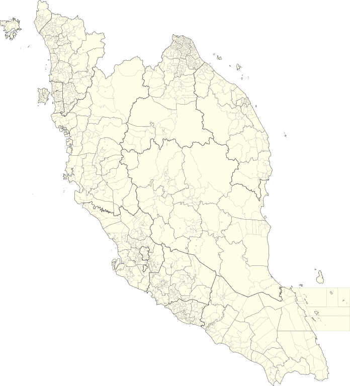
English: Map of Peninsular Malaysia with third-level administrative divisions (Mukim/Bandar/Pekan) |
| Date | |
| Source | [1] via Unique Parcel Identifier (UPI) |
| Author | Unique Parcel Identifier (UPI) |
གན་རྒྱ་ནང་ཞུགས་པ།
This file is licensed under the Creative Commons Attribution-Share Alike 4.0 International license.
- You are free:
- to share – to copy, distribute and transmit the work
- to remix – to adapt the work
- Under the following conditions:
- attribution – You must give appropriate credit, provide a link to the license, and indicate if changes were made. You may do so in any reasonable manner, but not in any way that suggests the licensor endorses you or your use.
- share alike – If you remix, transform, or build upon the material, you must distribute your contributions under the same or compatible license as the original.
ཡིག་ཆའི་ལོ་རྒྱུས།
ཟླ་ཚེས་/དུས་ཚོད་གནུན་ཏེ་རྩོམ་ཡིག་ལ་ལྟ་བ།
| ཚེས་གྲངས། / དུས་ཚོད། | བསྡུས་དོན། | ཚད། | སྤྱོད་མི། | བསམ་ཚུལ། | |
|---|---|---|---|---|---|
| ད་ལྟ། | ༠༥:༢༦, ༡༠ ཟླ་བདུན་པ། ༢༠༢༡ | | ༧༣༩ × ༨༡༥ (༩.༢༤ MB) | Zh9567 | Uploaded a work by [https://mygos.mygeoportal.gov.my/upi/ Unique Parcel Identifier (UPI)] from [https://github.com/justinelliotmeyers/Malaysia_Official_Boundaries_2021] via [https://mygos.mygeoportal.gov.my/upi/ Unique Parcel Identifier (UPI)] with UploadWizard |
ཡིག་ཆ་བེད་སྤྱོད་ཁུལ།
There are no pages that use this file.
Global file usage
The following other wikis use this file:
- Usage on en.wikipedia.org
- Usage on id.wikipedia.org
- Usage on ms.wikipedia.org
- Usage on zh.wikipedia.org