
File:Malacca location map.svg

Size of this PNG preview of this SVG file: ༨༠༠ × ༥༠༦ pixels. Other resolutions: ༣༢༠ × ༢༠༢ pixels | ༦༤༠ × ༤༠༥ pixels | ༡,༠༢༤ × ༦༤༨ pixels | ༡,༢༨༠ × ༨༡༠ pixels | ༢,༥༦༠ × ༡,༦༢༠ pixels | ༩༨༠ × ༦༢༠ pixels.
ཐོག་མའི་ཡིག་ཆ། (SVG file, nominally ༩༨༠ × ༦༢༠ pixels, file size: ༥༩༦ KB)
བསྡུས་དོན།
| Description |
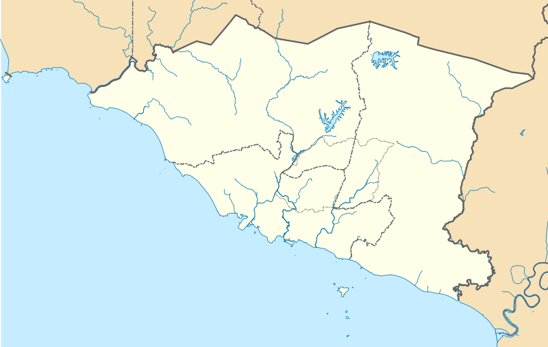
English: A map showing districts of Melaka (blank version) |
| Date | |
| Source | Own work |
| Author | Zh9567 |
གན་རྒྱ་ནང་ཞུགས་པ།
I, the copyright holder of this work, hereby publish it under the following license:
This file is licensed under the Creative Commons Attribution-Share Alike 4.0 International license.
- You are free:
- to share – to copy, distribute and transmit the work
- to remix – to adapt the work
- Under the following conditions:
- attribution – You must give appropriate credit, provide a link to the license, and indicate if changes were made. You may do so in any reasonable manner, but not in any way that suggests the licensor endorses you or your use.
- share alike – If you remix, transform, or build upon the material, you must distribute your contributions under the same or compatible license as the original.
ཡིག་ཆའི་ལོ་རྒྱུས།
ཟླ་ཚེས་/དུས་ཚོད་གནུན་ཏེ་རྩོམ་ཡིག་ལ་ལྟ་བ།
| ཚེས་གྲངས། / དུས་ཚོད། | བསྡུས་དོན། | ཚད། | སྤྱོད་མི། | བསམ་ཚུལ། | |
|---|---|---|---|---|---|
| ད་ལྟ། | ༠༨:༤༢, ༡༣ ཟླ་བཞི་བ། ༢༠༢༡ | | ༩༨༠ × ༦༢༠ (༥༩༦ KB) | Zh9567 | minor |
| ༠༦:༥༩, ༡༢ ཟླ་བཞི་བ། ༢༠༢༡ |  | ༩༨༠ × ༦༢༠ (༥༩༧ KB) | Zh9567 | Uploaded own work with UploadWizard |
ཡིག་ཆ་བེད་སྤྱོད་ཁུལ།
There are no pages that use this file.
Global file usage
The following other wikis use this file:
- Usage on en.wikipedia.org
- Malacca City
- Masjid Tanah
- Tanjung Tuan
- Ayer Keroh
- Merlimau
- Besar Island, Malacca
- Malacca Island
- Durian Tunggal
- Batu Berendam
- Tanjung Kling
- Bukit Katil
- Sungai Rambai
- Tanjung Bidara
- Wikipedia:WikiProject Malaysia/Cartography
- Portuguese Settlement, Malacca
- Simpang Ampat (Malacca)
- Hang Tuah Jaya
- Jasin (town)
- Linggi River
- Malacca
- Pengkalan Balak Beach
- Durian Tunggal Reservoir
- Sungai Udang Recreational Forest
- Alor Gajah Square
- Jus Reservoir
- Ayer Keroh Lake
- Ayer Keroh Square
- 1Malaysia Square
- Jasin Square
- Puteri Beach
- Bukit Batu Lebah Recreational Forest
- Klebang Beach
- Kuala Linggi Mangrove Recreational Forest
- Alor Gajah
- Konet Island
- Module:Location map/data/Malaysia Malacca
- Module:Location map/data/Malaysia Malacca/doc
- Undan Island
- Bukit Baru
- Upeh Island
- Usage on fr.wikipedia.org
- Usage on id.wikipedia.org
- Usage on ms.wikipedia.org
- Usage on os.wikipedia.org
View more global usage of this file.