
File:Africa map political.svg

Size of this PNG preview of this SVG file: ༦༣༥ × ༦༠༠ pixels. Other resolutions: ༢༥༤ × ༢༤༠ pixels | ༥༠༨ × ༤༨༠ pixels | ༨༡༣ × ༧༦༨ pixels | ༡,༠༨༤ × ༡,༠༢༤ pixels | ༢,༡༦༩ × ༢,༠༤༨ pixels | ༡,༥༢༥ × ༡,༤༤༠ pixels.
ཐོག་མའི་ཡིག་ཆ། (SVG file, nominally ༡,༥༢༥ × ༡,༤༤༠ pixels, file size: ༧༠༠ KB)
བསྡུས་དོན།
| Description |
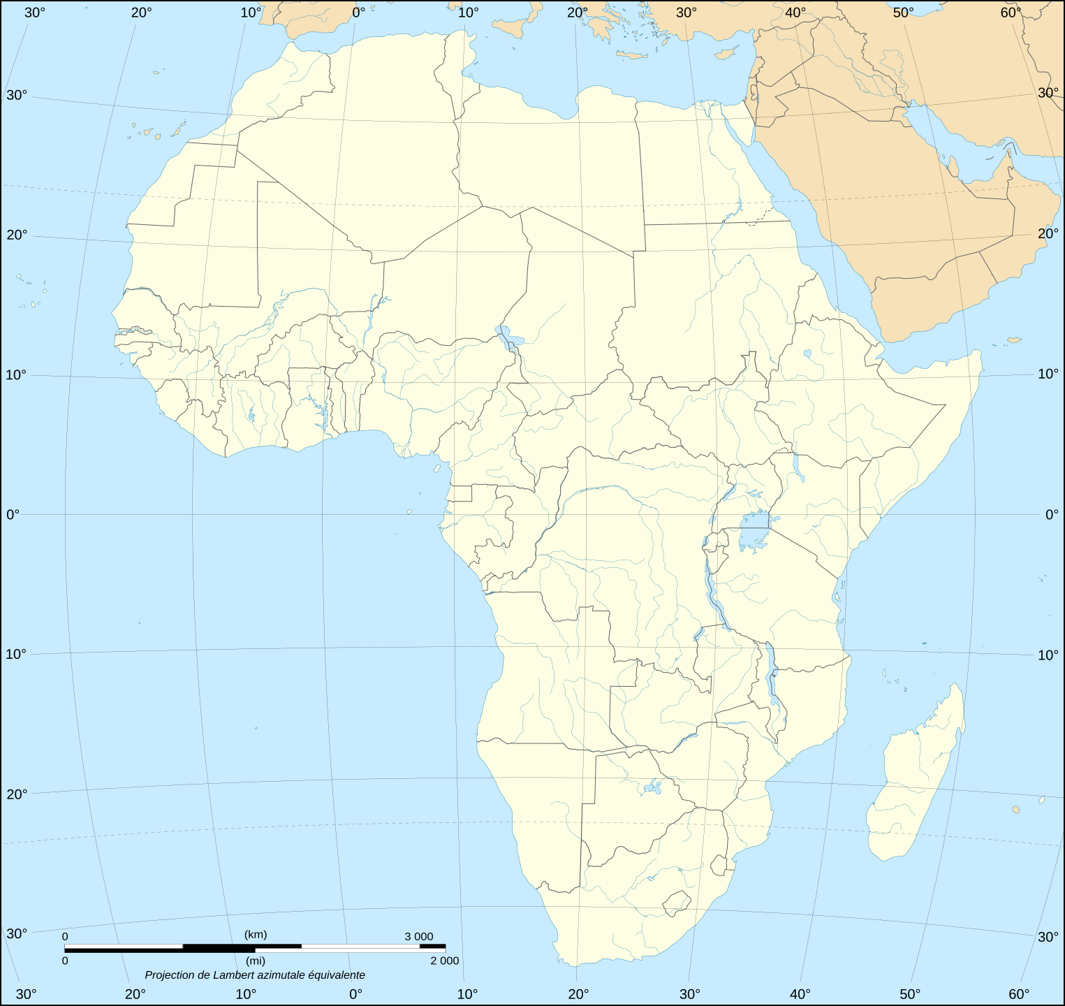
English: Blank political map of Africa as in 2011-07.
Français : Carte politique vierge de l'Afrique telle qu'en 07/2011.
Lambert azimutal equal-area projection, WGS84 datum, standard meridian: 15°E, standard parallel: 0° |
||
| Date | June 2008 (new version), updated 2011-07 | ||
| Source |
Own work
|
||
| Author | Eric Gaba (Sting - fr:Sting) | ||
| Permission (Reusing this file) |
|
||
| Other versions |
Derivative works of this file:
|


གན་རྒྱ་ནང་ཞུགས་པ།
I, the copyright holder of this work, hereby publish it under the following licenses:

|
Permission is granted to copy, distribute and/or modify this document under the terms of the GNU Free Documentation License, Version 1.2 or any later version published by the Free Software Foundation; with no Invariant Sections, no Front-Cover Texts, and no Back-Cover Texts. A copy of the license is included in the section entitled GNU Free Documentation License. |
| This file is licensed under the Creative Commons Attribution-Share Alike 3.0 Unported license. | ||
| ||
| This licensing tag was added to this file as part of the GFDL licensing update. |
This file is licensed under the Creative Commons Attribution-Share Alike 2.5 Generic, 2.0 Generic and 1.0 Generic license.
- You are free:
- to share – to copy, distribute and transmit the work
- to remix – to adapt the work
- Under the following conditions:
- attribution – You must give appropriate credit, provide a link to the license, and indicate if changes were made. You may do so in any reasonable manner, but not in any way that suggests the licensor endorses you or your use.
- share alike – If you remix, transform, or build upon the material, you must distribute your contributions under the same or compatible license as the original.
You may select the license of your choice.
ཡིག་ཆའི་ལོ་རྒྱུས།
ཟླ་ཚེས་/དུས་ཚོད་གནུན་ཏེ་རྩོམ་ཡིག་ལ་ལྟ་བ།
| ཚེས་གྲངས། / དུས་ཚོད། | བསྡུས་དོན། | ཚད། | སྤྱོད་མི། | བསམ་ཚུལ། | |
|---|---|---|---|---|---|
| ད་ལྟ། | ༢༠:༤༢, ༡༤ ཟླ་བདུན་པ། ༢༠༡༡ | | ༡,༥༢༥ × ༡,༤༤༠ (༧༠༠ KB) | Sting | Sudan/South Sudan 2011-07 border update |
| ༢༠:༤༡, ༡༠ ཟླ་དང་པོ། ༢༠༠༩ |  | ༡,༥༢༥ × ༡,༤༤༠ (༦༩༥ KB) | Sting | Detail correction | |
| ༢༣:༡༥, ༢༧ ཟླ་དྲུག་པ། ༢༠༠༨ |  | ༡,༥༢༥ × ༡,༤༤༠ (༦༩༦ KB) | Sting | Completely new drawing with known projection ; new colors | |
| ༢༠:༥༨, ༢༡ ཟླ་དགུ་བ། ༢༠༠༦ |  | ༡,༣༩༠ × ༡,༢༩༥ (༥༥༨ KB) | Sting | Colours | |
| ༢༡:༡༧, ༣༡ ཟླ་ལྔ་བ། ༢༠༠༦ |  | ༡,༣༩༠ × ༡,༢༩༥ (༥༥༨ KB) | Sting | {{Information |Description=Blank political vector graphic map of Africa |Source=Several bitmap-type maps |Date= May 2006 |Author= Eric Gaba (Sting) |Permission=GFDL or CC-BY-SA |other_versions=[[:Image:Africa_ma |
ཡིག་ཆ་བེད་སྤྱོད་ཁུལ།
There are no pages that use this file.
Global file usage
The following other wikis use this file:
- Usage on fr.wikipedia.org
- Usage on no.wikipedia.org