
File:Thap Rua.jpg
Size of this preview: ༦༩༨ × ༦༠༠ pixels. Other resolutions: ༢༧༩ × ༢༤༠ pixels | ༥༥༩ × ༤༨༠ pixels | ༨༩༤ × ༧༦༨ pixels | ༡,༡༩༢ × ༡,༠༢༤ pixels | ༡,༥༣༦ × ༡,༣༢༠ pixels.
ཐོག་མའི་ཡིག་ཆ། (༡,༥༣༦ × ༡,༣༢༠ བརྙན་རྒྱུ།, ཡིག་ཆ་ཆེ་ཆུང།: ༤༥༥ KB, རྣམ་གཞག།: image/jpeg)
བསྡུས་དོན།
| Description |
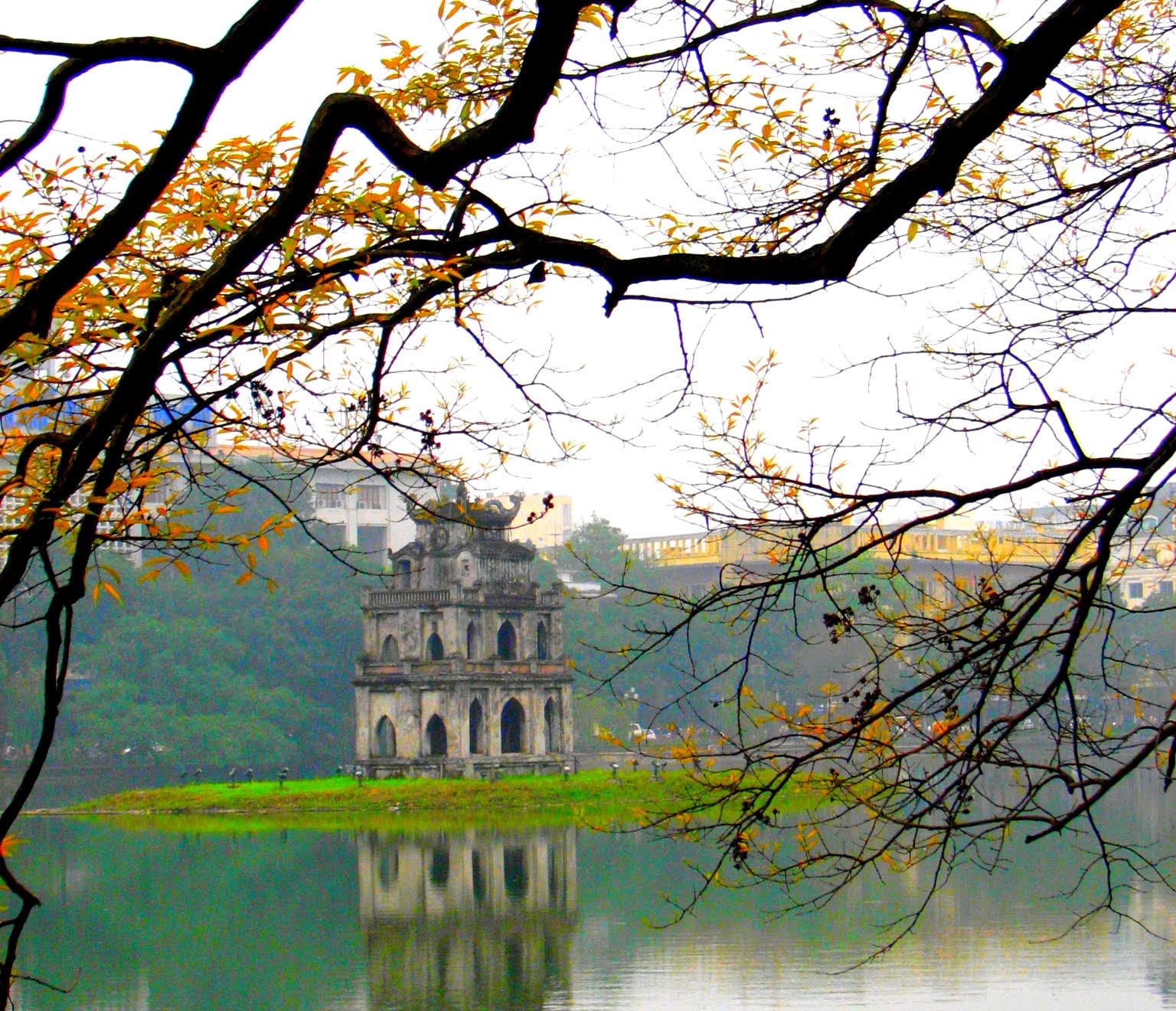
Tiếng Việt: Tháp Rùa giữa hồ Hoàn Kiếm
Tiếng Việt: Turtle Tower amid the Hoàn Kiếm Lake |
| Date | |
| Source | IMG_3020.JPG |
| Author | Cyril Doussin from London, United Kingdom |
| Other versions | x120px x120px |
| Object location | | View this and other nearby images on: OpenStreetMap |
|---|
གན་རྒྱ་ནང་ཞུགས་པ།
This file is licensed under the Creative Commons Attribution-Share Alike 2.0 Generic license.
- You are free:
- to share – to copy, distribute and transmit the work
- to remix – to adapt the work
- Under the following conditions:
- attribution – You must give appropriate credit, provide a link to the license, and indicate if changes were made. You may do so in any reasonable manner, but not in any way that suggests the licensor endorses you or your use.
- share alike – If you remix, transform, or build upon the material, you must distribute your contributions under the same or compatible license as the original.
ཡིག་ཆའི་ལོ་རྒྱུས།
ཟླ་ཚེས་/དུས་ཚོད་གནུན་ཏེ་རྩོམ་ཡིག་ལ་ལྟ་བ།
| ཚེས་གྲངས། / དུས་ཚོད། | བསྡུས་དོན། | ཚད། | སྤྱོད་མི། | བསམ་ཚུལ། | |
|---|---|---|---|---|---|
| ད་ལྟ། | ༡༥:༥༥, ༢༥ ཟླ་བཅུ་གཅིག་པ། ༢༠༢༡ | | ༡,༥༣༦ × ༡,༣༢༠ (༤༥༥ KB) | Nguyễn Trần Minh Long | Cross-wiki upload from en.wikipedia.org |
ཡིག་ཆ་བེད་སྤྱོད་ཁུལ།
pagelinks འདི་ལ་སྦྲེལ་ཡོད།
Global file usage
The following other wikis use this file:
- Usage on ceb.wikipedia.org
- Usage on en.wikipedia.org
- Usage on en.wikivoyage.org
- Usage on eo.wikipedia.org
- Usage on es.wikipedia.org
- Usage on fa.wikipedia.org
- Usage on fy.wikipedia.org
- Usage on incubator.wikimedia.org
- Usage on it.wikipedia.org
- Usage on ja.wikipedia.org
- Usage on ko.wikipedia.org
- Usage on lfn.wikipedia.org
- Usage on li.wikipedia.org
- Usage on mn.wikipedia.org
- Usage on pt.wikipedia.org
- Usage on ru.wikipedia.org
- Usage on sat.wikipedia.org
- Usage on sc.wikipedia.org
- Usage on sl.wikipedia.org
- Usage on sr.wikipedia.org
- Usage on tr.wikipedia.org
- Usage on ur.wikipedia.org
- Usage on vi.wikipedia.org
- Usage on vi.wikivoyage.org
- Usage on zh.wikipedia.org